Salish Kootenai College
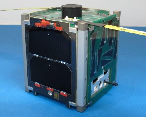
BisonSat, the first 1U cubesat for Salish Kootenai College in Pablo, Montana was launched together with ARC-1 and FOX-1A as secondary payload (NROL-55 mission) at 08 Oct 2015, 12:49 UTC from Vandenberg Air Force Base. The science payload is a visible light camera for land cover classification, cloud cover, and cloud height measurements.
NASA-Catalog: 40968
Beacon
437.375 MHz, 9k6 FSK, AX.25
Call
N7SKC
Status
ACTIVE
Orbital Parameter
Inclination             64.781
RA of A. Node           243.548
Eccentricity            0.0217962
Argument of Perigee     277.104
Revs per day            14.74367360
Period                  1h 37m 40s (97.67 min)
Semi-major axis         7 025 km
Perigee x Apogee        494 x 800 km
BStar (drag term)       0.000561540 1/ER
Mean anomaly            228.497

The BisonSat camera is designed by Salish Kootenai College and utilizes an Aptina MT9T031 ½-inch optical format CMOS detector. The 2048×1536 array of 3.2 µm active pixels is subframed to 1600×1200 or smaller, with an overlain Bayer pattern filter providing color imaging. Raw Bayer pattern data from the detector is written to SRAM and then transferred to a SD card for later onboard processing and downlink. The image detector with overlying RBG Bayer pattern filter is sensitive mainly in the visible with greater than 10% quantum efficiency from 390 nm into the near infrared (with blue pixels from 390 to 530 nm, green from 475 to 620 nm, and red from 570 nm into the near infrared). A IR cut off filter is be placed between the optic and image detector to change the red response to 570 nm to 700 nm.

An onboard dsPic33 microcontroller and real time clock is used to control the camera. Image acquisition is scheduled via uplink commands sent from the Salish Kootenai College ground station. Usually Bayer pattern data from the detector is interpolated and JPEG compressed on board. BisonSat also has the capability to return a losslessly compressed form of the Bayer pattern data for three-band RGB science analyses.

BisonSat uses passive magnetic attitude control to align the camera optical axis with Earth’s local magnetic field direction. BisonSat is able to image Earth’s surface where the magnetic field has a large downward vertical component. Oblique imaging is possible in equatorial areas. The camera is pointed away from the Earth where the magnetic field has a large outward vertical component, which is over much of the southern hemisphere. Over much of North America the camera will be pointed to within 10º-30º of nadir. No space-pointing images will be acquired. At perigee the 35-mm BisonSat optic yields a 8.4º field of view, and a 69-km maximum ground swath width. Best resolution is 43-m ground sampling distance at nadir.

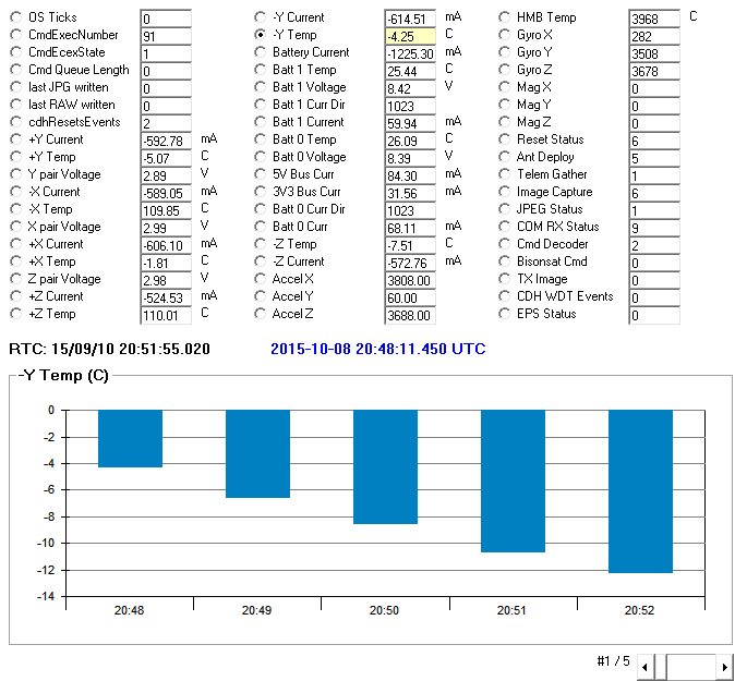
Telemetrie
Homepage und weitere Informationen
http://cubesat.skc.edu/
brief look